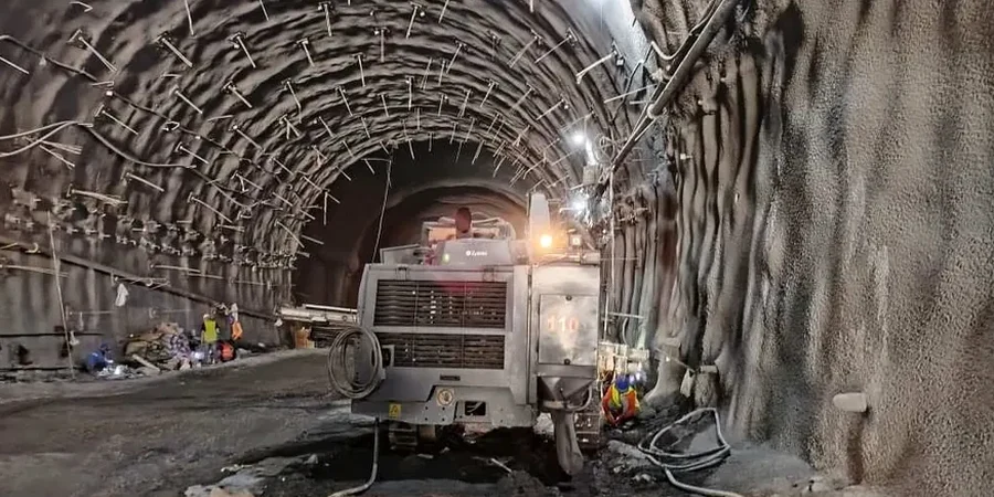
A recent mixed-use excavation along the St. Marys River exposed a challenging sequence of glaciolacustrine silts and fine sands just 12 ft below street level. With the water table fluctuating seasonally within 6–8 ft of grade, the contractor needed a monitoring plan that could track lateral deformation and pore pressure daily. Fort Wayne’s glacial geology, shaped by the Trafalgar Formation and overlying outwash, demands instrumentation that responds fast to changing conditions. We deployed a combination of in-place inclinometers, vibrating-wire piezometers, and automated total station targets to capture wall deflection, groundwater response, and settlement behind the shoring. When the first heavy rain of spring hit, the data showed a 0.15-inch lateral shift overnight, triggering a pre-agreed threshold review before concrete placement. CPT testing helped refine the stratigraphic model at the toe of the wall, and slope stability analysis confirmed the global factor of safety under rapid drawdown conditions.
Real-time monitoring in Fort Wayne’s glaciolacustrine soils catches the 0.10-inch movement that precedent tells us precedes a larger failure.
Our approach and scope
Local geotechnical context
Over a decade of monitoring cuts in downtown Fort Wayne, the most recurrent near-miss we document is unexpected saturation of the silty sand lenses trapped within the Trafal Formation till. These lenses drain slowly and build pore pressure behind sheeting walls days after a storm passes, right when the crew assumes the risk has dropped. Without vibrating-wire piezometers recording at six-hour intervals, that lagged pressure can produce a basal heave or a sudden kick at the wale level. The 2018 reconstruction of a parking garage on Calhoun Street illustrated this well: a 0.3-inch movement appeared 72 hours after the last rainfall, traced directly to a perched water pocket that conventional standpipes had missed. Indiana’s frost depth also introduces a seasonal risk: inclinometer casings can pinch if the surface seal freezes, generating false readings. We mitigate this with deeper casing sockets, heated reference heads, and redundant optical checks that keep the data trustworthy through February.
Reference standards
ASTM D6230, ASTM D7299, 2021 IBC Chapter 33, ASCE 7-22, and associated commentary on earth pressure and monitoring provide technical guidance for excavation protection and real-time geotechnical instrumentation verification.
Complementary services
Deep Excavation Monitoring
Full instrumentation for cuts exceeding 15 ft: inclinometers behind soldier pile and secant walls, multi-level vibrating-wire piezometers, load cells on tieback anchors, and automated total station arrays on adjacent buildings. We correlate readings daily against the pre-excavation finite-element model and issue threshold-exceedance alerts within one hour.
Utility & Street-Level Settlement Arrays
Shallow monitoring for open-cut utility trenches and street widening in Fort Wayne’s downtown grid. Settlement points and crack monitors on brick-veneer storefronts, paired with standpipe piezometers to track dewatering influence. Weekly reports formatted for City of Fort Wayne Right-of-Way permit compliance.
Retention Structure Performance Verification
Post-construction monitoring of permanent retaining walls, basement walls, and bridge abutments. Inclinometer casings left in place for 12–24 months to confirm design assumptions. Data compared against the AASHTO LRFD service limit state for lateral movement, with a final close-out letter stamped by the responsible engineer.
Typical parameters
Quick answers
What does geotechnical excavation monitoring cost for a typical Fort Wayne project?
How often should inclinometer and piezometer readings be taken during active excavation?
During active digging within 5 ft of the shoring, we recommend automated readings every 4–6 hours. Manual inclinometer traverses should be performed at least twice per week. Frequency can reduce to weekly after reaching final subgrade, provided three consecutive stable readings are recorded and the engineer of record approves the reduced schedule.
Which ASTM standard governs inclinometer monitoring on a Fort Wayne excavation?
ASTM D6230 covers the installation and monitoring procedure for in-place inclinometers in soil and rock. We also reference ASTM D7299 for probe verification and calibration checks, which we perform on-site before the first baseline reading and after any reading that triggers a threshold alarm.