Underestimating the lateral earth pressures in Fort Wayne’s glacial till is a mistake that stops projects the moment the first shoring layer goes in. The city sits on a complex mix of Wisconsin-age moraines and lake plain deposits, which means a single excavation can transition from stiff clay to water-bearing sand in less than twenty vertical feet. Our team applies site-specific soil parameters from SPT drilling and laboratory triaxial testing to model each stage of the cut before any steel arrives on site. We do not rely on textbook K₀ values when the stratigraphy changes block by block. For excavations near the Maumee River or the St. Marys, where the water table often sits within eight feet of grade, the design must also account for hydraulic uplift and basal instability, conditions that a generic shoring schedule simply cannot handle.
A deep excavation in glacial till is not a standardized operation — it is a staged structural system that must be calibrated to the soil profile revealed by each boring log.
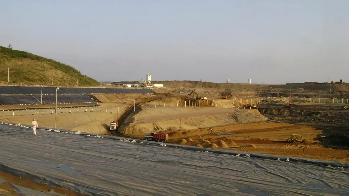
Our approach and scope
Local geotechnical context
Fort Wayne’s freeze-thaw cycles, which can penetrate three to four feet into the ground from December through February, introduce a seasonal risk that is absent in warmer climates. Frozen soil behaves as a temporary rigid crust, but when it thaws in March, the same material can lose cohesion overnight and impose surcharge loads that were not present the week before. A deep excavation design that ignores this cycle will see excessive deformation at the crest during spring rain events. We specify insulation blankets, heated enclosures, or staged winter shutdowns depending on the schedule, and we always run a sensitivity analysis on the thawed strength of the upper till. For projects that involve basement levels below the Maumee flood stage, we also evaluate the risk of a sudden drawdown condition, which can reverse the hydraulic gradient and destabilize the excavation bottom if not addressed in the dewatering plan.
Reference standards
The geotechnical deep excavation design in Fort Wayne complies with ASCE 7-22 for minimum design loads, IBC 2021 Chapter 18 for soils and foundations, and ASTM D1586 for the Standard Penetration Test method.
Complementary services
Shoring System Design & Staging
Selecting soldier pile, sheet pile, or secant wall systems based on the depth and soil profile. We generate staged excavation sequences that limit cantilever heights and specify preload levels for each tieback row.
Dewatering & Groundwater Control
Designing wellpoint, deep well, or eductor systems to lower the water table below subgrade. We model steady-state flow and assess the radius of influence to protect neighboring foundations from settlement.
Adjacent Structure Protection
Evaluating vibration and settlement limits for brick buildings, bridges, and utilities within the zone of influence. We prescribe underpinning, compensation grouting, or monitoring thresholds when required.
Basal Stability & Heave Analysis
Checking for bottom heave in soft clay using Terzaghi and Bjerrum methods, and designing soil improvement or toe embedment depth to achieve the required factor of safety.
Typical parameters
Quick answers
What is the typical cost for a deep excavation design in Fort Wayne?
How long does it take to complete a deep excavation design for a downtown Fort Wayne project?
A complete design package, from the geotechnical baseline review through final shoring drawings, typically takes three to five weeks. Projects that require coordination with the City of Fort Wayne for right-of-way shoring or with INDOT for bridge-adjacent excavations may extend the timeline by one to two weeks for review and permitting.
Which shoring system works best in Fort Wayne's glacial till?
Soldier pile and lagging with tieback anchors is the most common system for till in the Fort Wayne area because it adapts well to the stiff, overconsolidated clays of the Wabash Moraine. In zones where the till transitions to water-bearing sand, we more often specify interlocking sheet piles or secant pile walls to provide cutoff and reduce the risk of piping at the excavation face.
Do I need a dewatering plan for a basement excavation near the Maumee River?
Yes. The water table along the Maumee River corridor is often within four to twelve feet of the surface, and any excavation deeper than about ten feet will require active dewatering. The design must include a hydraulic model to size the pumps, a settlement analysis for nearby structures, and a discharge plan that complies with the City of Fort Wayne stormwater permit requirements.